3D Drone Mapping
Experience the groundbreaking advantages of drone 3D models and elevate your construction projects to new heights. Embrace precision, collaboration, and foresight like never before. Welcome to a realm where data-driven insights pave the way for unparalleled success.
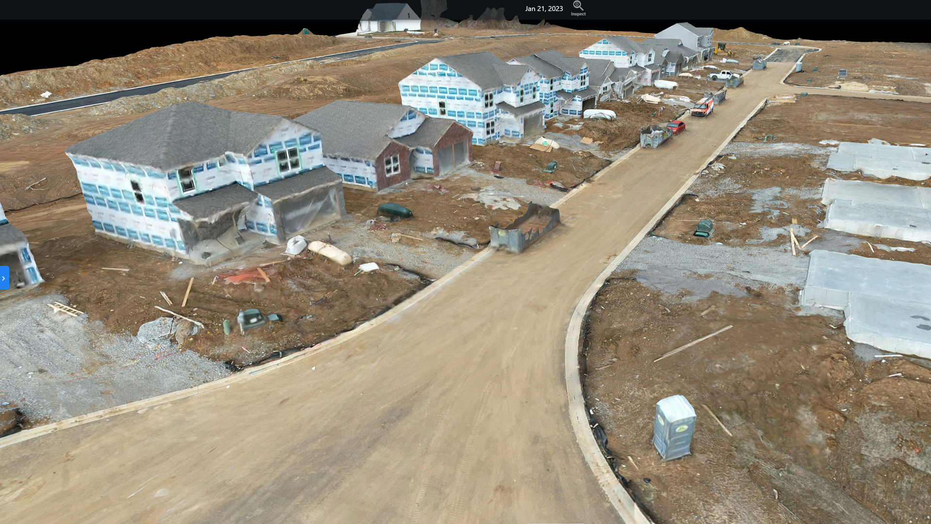
Gone are the days of relying solely on 2D blueprints. Drone 3D models provide a true-to-life representation of your construction site, capturing intricate details and dimensions. Make critical decisions with a deeper understanding of the environment, mitigating errors and optimizing your project's trajectory.
Increased efficiency of contractors on site
Precise measurements and increased site management
Lifetime access to data for future project planning
Orthomosaics
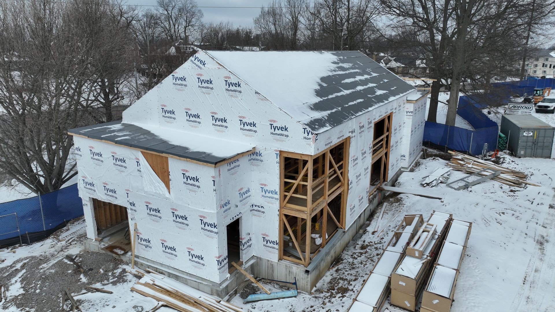
When discussing 3D mapping, it's hard not to talk about orthomosaics. Orthomosaic is a fancy word for a group of photos stitched together to create a 2D, top down view of a large area.
Orthomosaics are used across a wide array of industries but one of the more popular ones is the world of general contracting. Whether the project is in pre-construction, active construction, or post-construction, orthomosaics can be used to accurately measure out distances and areas.
Historically, these vital data sets were incredibly difficult to capture, requiring expensive equipment and software. Today, drones are the go-to means of capturing the data needed to create these maps and The Drone Ranger is your go-to provider of those solutions.
We pursue precision in everything we do and our mapping solutions rival the best in the business. We will capture the data needed without disturbing on-site productivity, process and render your site in our online software, and deliver your map before you can say "Hi,Ho, Silver!"
Measure volume of materials on site
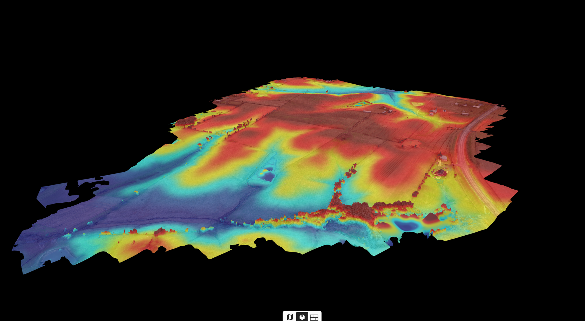
Determine water runoff and sloping
Allocate appropriate and accurate funding for excavating and fill-in procedures
Volumetric Measurements
Elevate your planning process with the unmatched accuracy of drone 3D models. Anticipate challenges, optimize resource allocation, and minimize costly rework. The ability to foresee potential issues and adjust plans accordingly translates to significant savings in both time and budget.
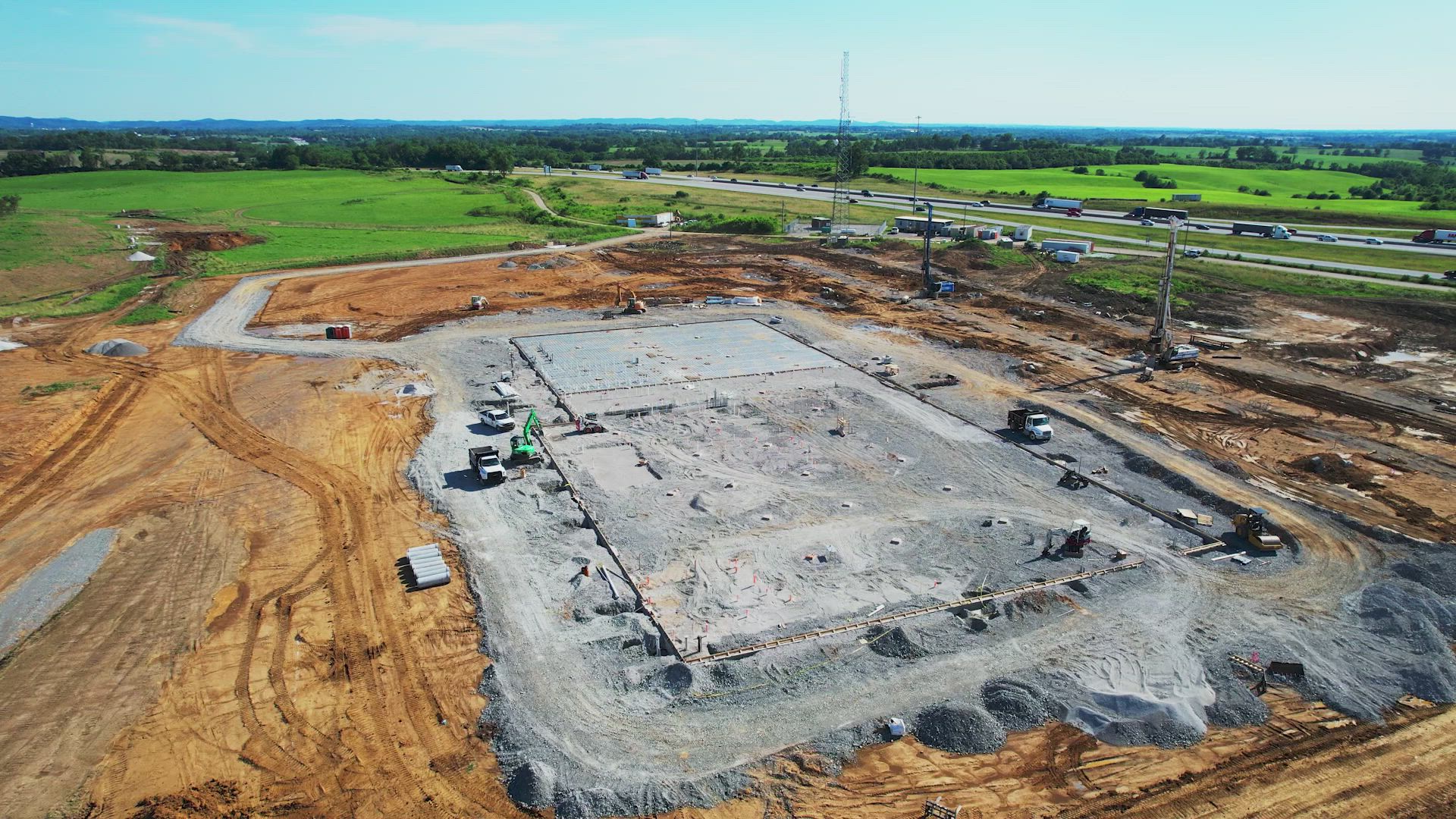
Another deliverable that is incredibly valuable in many industries are volumetric reports. These reports allow for increased accurate measurements of elevation changes and water run-off, which can be vital to the cost-analysis of any project.
These reports could mean the difference between a site being completed on time and under budget and a site being delayed due to unforeseen expenses. If you need to add value to your projects, contact us today to find your custom fit solution!
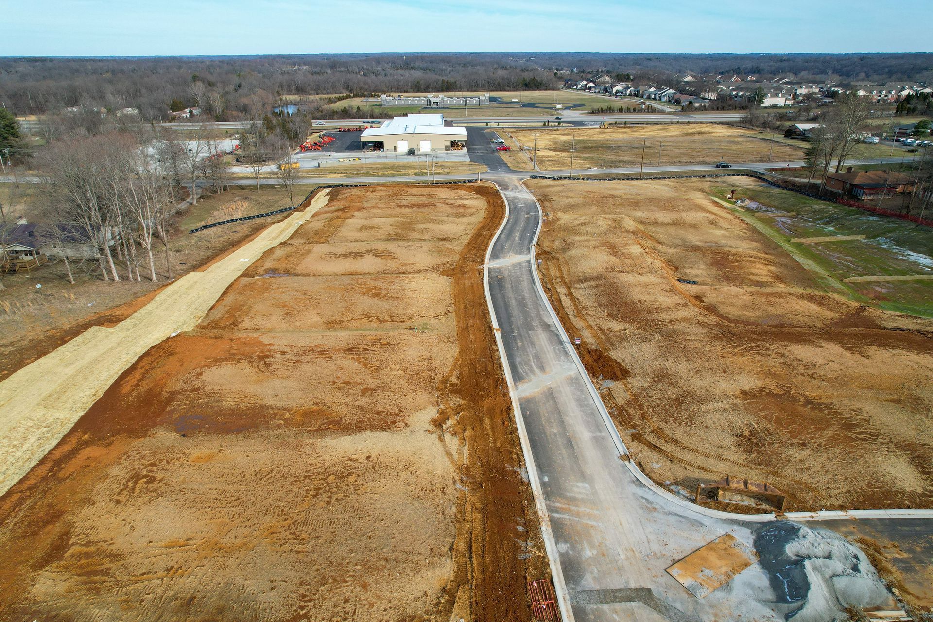
As construction methodologies evolve, staying ahead of the curve is non-negotiable. Embrace the transformative potential of drone-generated 3D models to remain competitive and adaptive in a rapidly changing industry landscape. Your projects will reflect the innovation you bring to them.
Interested in our services?
Let us help on your next project!
