Drone Services for Construction
Join the ranks of forward-thinking construction professionals who are experiencing the transformative impact of drone data capture. Elevate your ROI, elevate your construction projects. Welcome to a new era of construction site management.
In the world of general contracting having reliable and routine data can be an invaluable piece of project health. Drone services have quickly become a huge asset to contractors. Whether you need to render a 3D model, a site update, or an immersive ultra-High Definition video, every site benefits from drone data.

No more Distraction
You know how when you want to keep up with your site and keep management up to speed, you get sidetracked by other responsibilities and tasks? Sometimes, site progress updates get left on the backburner or eliminated altogether. Here at The Drone Ranger, we collect data in an efficient manner that you can trust. What this means is no more contractor headache. No more waiting weeks to verify equipment on site. No more needing to move around internal employees for site updates. Our clients appreciate the reliability we bring that allows them to focus on other duties. When you work with The Drone Ranger, there are no more distractions and wasted time.
Unleash the Power of Drone Data Capture for Your Construction Site
Our Process
The Drone Ranger offers construction services to meet every need. We have the experience, knowledge, and certification to provide your site with actionable data. This data with be processed and stored efficiently to not only give you real-time updates but also information you can use for future project.
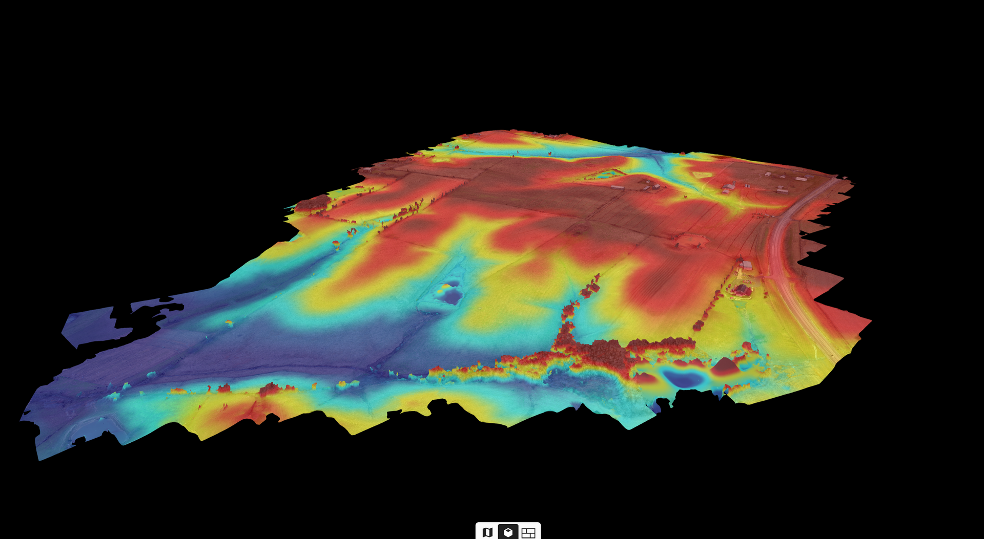
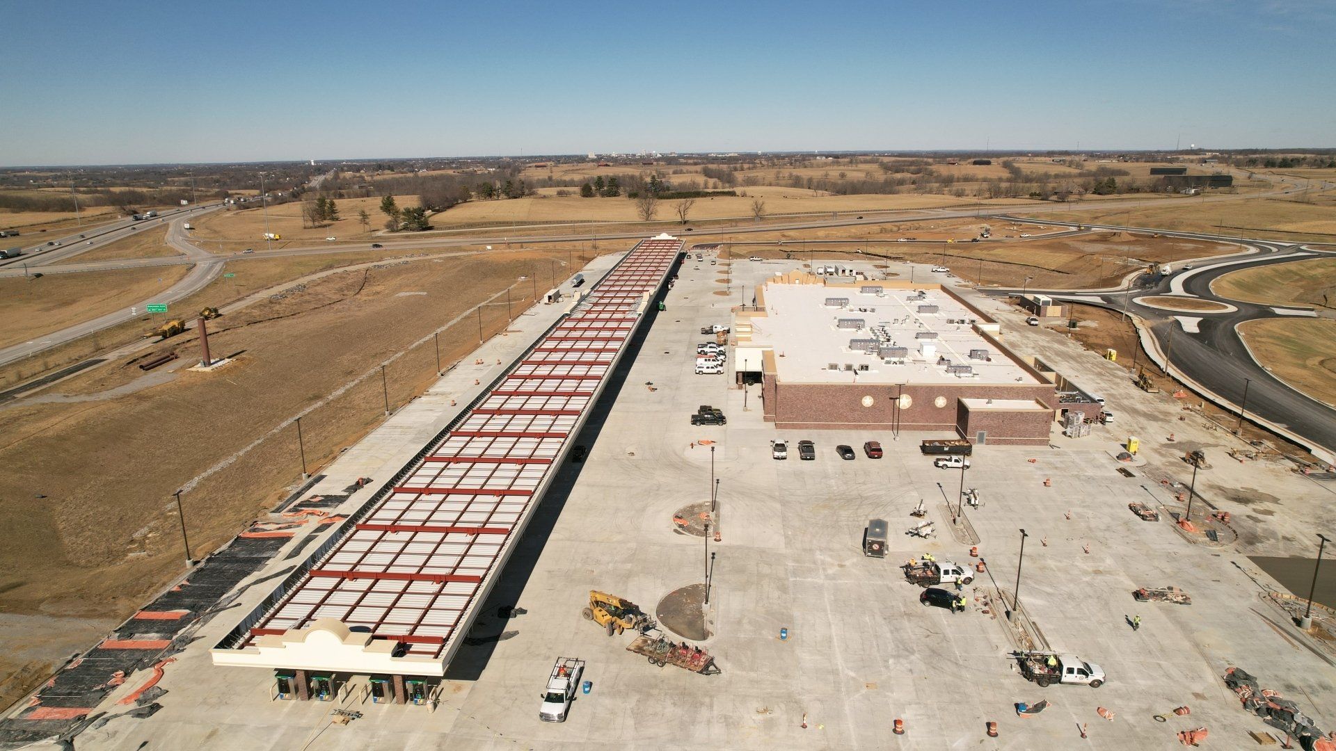
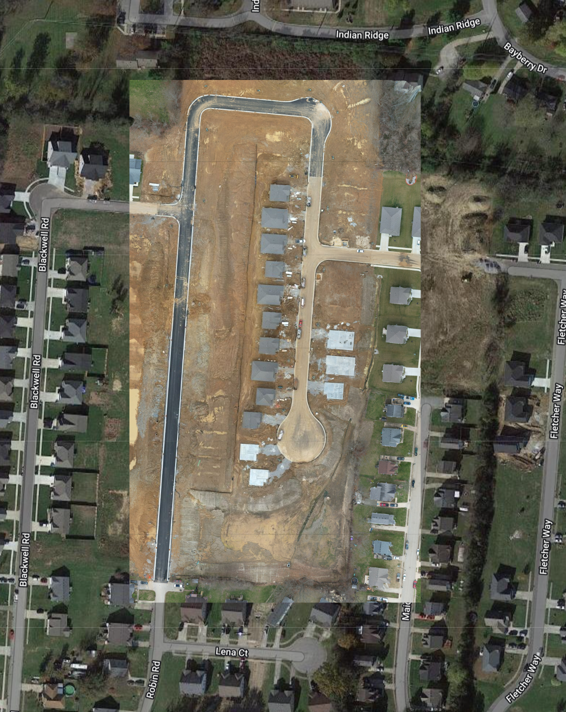
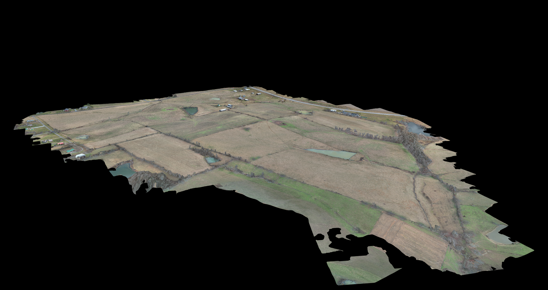
The efficiency and cost-effectiveness of drones in construction cannot be ignored. Our process includes the capture and processing of hundreds of images to render your site into a 3D model. This model can be used to measure distances, determine water runoff, enhance productivity of contractors on site, and create a streamline workflow!
Don’t let your site fail to meet deadlines because of the inefficiencies of past methods! Check out some of the sites we have worked on in the past and contact us today to maximize your site’s profitability!
Pre-Construction and Procurement
Drone data is a vital aspect of the construction planning process. This data helps with materials oversight, crew scheduling, site timeframes, and so much more. Inventory management is another big part of maintaining a high level construction site. Our 3D models will allow you to measure inventory with extreme precision. We set the standard for site planning and project oversight. With TDR’s drone services in your back pocket, you can be sure your site will run smoothly and on time.
Construction and Execution
The Drone Ranger offers real-time construction services to keep you updated on your site’s progress.
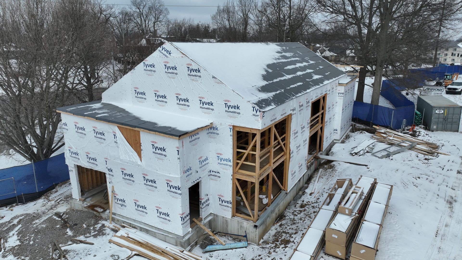
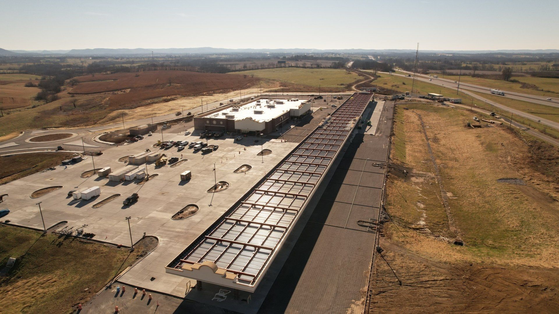
Stay in touch with the progression of your site and be informed on next steps. We help general contracting projects stay on track and meet deadlines by providing routine updates of the site. With our aerial data, you’ll have a better idea of when your project will hit it’s goals or when changes will need to be made.
Post-Construction and Closeout
The Closeout phase is critical to the health of future projects.
There are so many steps to ensure a proper closeout. With The Drone Ranger, our full service drone data will provide you with all the necessary tools to ensure your media is transferred safely and efficiently. Once the site is completed, we will produce an easy-to-navigate link with all of your media in one place, making it easy to transfer to management and owners.
Finally, with data spanning the entire project, we provide your organization with vital construction site data showing every phase of the project. With this data in hand, you can more accurately predict labor costs, timeframes, and efficiency errors to aid in your next project.
Interested in learning more about our aerial 3D modeling solutions? Keep reading!
Ever wondered how Google Earth has a map of the entire world? How are they able to do that?
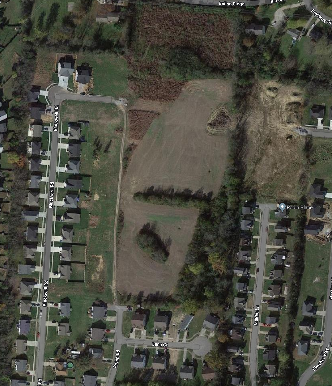
That process is called Orthomosaic Mapping and it's a magnificently valuable tool. It allows the user to measure distances and volume with incredible precision.
In short, The Drone Ranger uses incredibly intuitive software that stitches photos together. This software renders a model that can be used in a variety of ways. Click the link below to learn more!
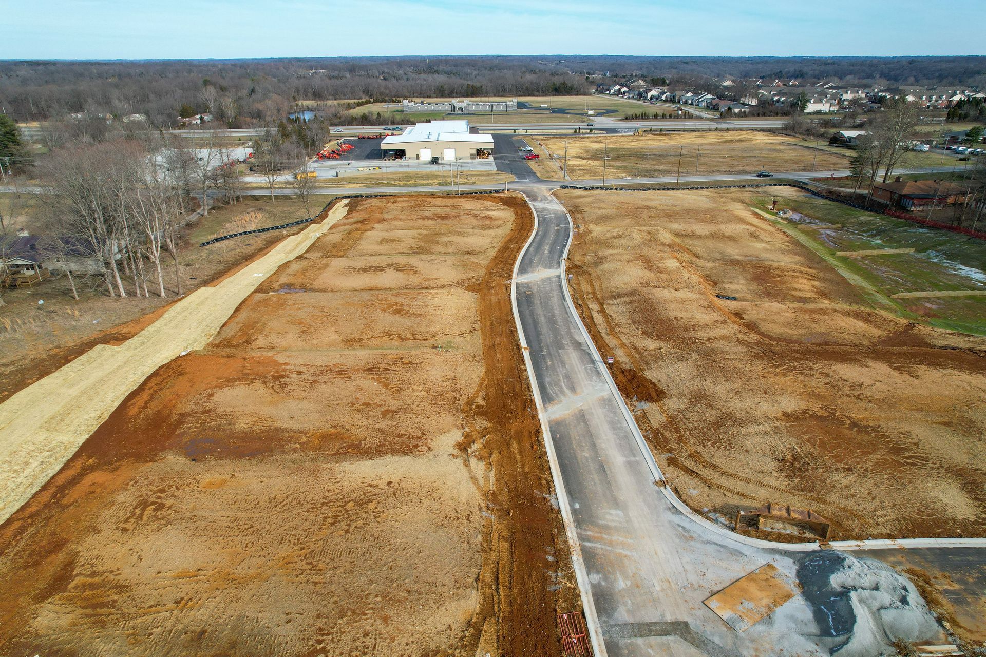
Imagine seeing your construction site from every angle, in stunning detail. Drones provide you with a bird's-eye view that no ground-level survey can match. This ultra-high-resolution data becomes the foundation for accurate mapping, volume calculations, and progress tracking. Say goodbye to costly rework and hello to a new era of precision.
Interested in our services?
Let us help on your next project!
